
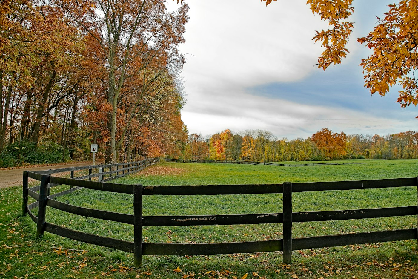
On wooded acreage, property lines are rarely obvious. A fence row, a creek or a line of old trees may look like a boundary, but it often is not. That is why we tell every buyer of mountain land the same thing: insist on a recent survey, walk the markers, and understand any easements. Neighbors appreciate owners who know where the lines are, and so does your own peace of mind years down the road.
Why Mountain Boundaries Are Tricky
In a subdivision with sidewalks and mowed yards, it is usually easy to see where one lot ends and another begins. On wooded acreage in Gilmer, Fannin and Pickens counties, it is a different story. Land here has often been divided, sold and re-divided many times over the decades. Older deeds may describe boundaries using landmarks that no longer exist, such as a particular tree, a fence that has since rotted away or a stream that has shifted course.
Steep terrain and thick hardwoods add to the challenge. Survey pins can be buried under leaves or knocked loose. A driveway may have been built across a corner of a neighbor’s land years ago without anyone noticing. None of this is unusual, and most of it can be sorted out easily if it is discovered before closing.
Insist on a Recent Survey
A survey is a professional measurement of the property’s boundaries, performed by a licensed land surveyor. It shows where the lines actually fall and can reveal problems that a deed or tax map will not.
A good survey can show:
- The exact boundary lines and corners of the property
- The location of the home, outbuildings, driveway and fences relative to those lines
- Any encroachments, where a structure, fence or driveway crosses onto adjoining land, or a neighbor’s crosses onto yours
- Recorded easements and rights-of-way
- Access to a public road
- In some cases, creeks, flood areas and other features
Why “recent” matters
A survey done decades ago may not reflect current conditions. Fences move, buildings get added and roads get widened. A seller’s old plat is a helpful starting point, but it is not the same as a current survey of what is on the ground today. Talk with your closing attorney and title insurer about what they require, and remember that a title policy may not cover survey-related issues unless a current survey is done.
Tax maps are not surveys
County GIS maps are useful for a general picture, but they are not precise. Lines on a tax map can be off by a noticeable distance, especially on irregular wooded parcels. Do not rely on them to decide where to build, clear or fence.
Walk the Markers
Once you have a survey, go see it in person. Ask the surveyor or seller to show you the corners, or use the survey to find them yourself. Markers are typically iron pins or rods set in the ground, sometimes with a cap and often flagged with bright ribbon after a fresh survey.
Walking the lines tells you things a drawing cannot:
- How much of the land is usable versus steep or wet
- Where the woods you think are yours actually belong to a neighbor
- Whether a trail, shed or garden sits on the wrong side of the line
- Where you would put a future driveway, garden or outbuilding
Late fall and winter are ideal for this. With the leaves down, it is far easier to see the terrain, find markers and understand how the parcel lays.
Understand Any Easements
An easement gives someone else a right to use part of your property for a specific purpose. Easements are common in the mountains and are not necessarily a problem, but you should know what they are before you buy.
Common examples include:
- Access easements that let a neighbor cross your land to reach their own property, or that let you cross theirs
- Utility easements for power lines, phone lines or water
- Shared driveway agreements among several owners
- Drainage easements that protect the natural flow of water
Ask who has the right to use the easement, where it runs, who maintains it and whether anything limits what you can build near it. If your own access depends on an easement across someone else’s land, make sure it is recorded and clearly written. Your closing attorney can review this in the title work.
Common Mistakes to Avoid
- Skipping the survey to save time. It is one of the most useful protections a land buyer has.
- Assuming a fence is the line. Fences are often built for convenience, not accuracy.
- Clearing trees before confirming boundaries. Cutting a neighbor’s timber can lead to serious disputes.
- Ignoring access. Confirm that you have legal, recorded access to a public road.
- Not reading the plat notes. Restrictions and easements are often listed right on the recorded plat.
Being a Good Neighbor
Knowing your lines is about more than legal protection. It is about starting off well with the people next door. When you build a fence, cut a trail or site a garage, you can do it confidently, knowing you are on your own land. If a question comes up, you can show a survey rather than guess. That kind of clarity keeps relationships friendly, which matters a great deal in small mountain communities.
For legal questions about a specific boundary, easement or title issue, talk with a licensed surveyor and a real estate attorney.
Your Checklist Before Buying Wooded Land
- Ask the seller for any existing surveys and plats.
- Order a current survey from a licensed surveyor.
- Walk the property lines and find the corner markers.
- Review all easements, access rights and plat notes with your attorney.
- Confirm your access to a public road is legal and recorded.
Sherry Payne serves buyers and sellers across Gilmer, Fannin and Pickens counties. Call to talk about your plans.


